• Skip to primary navigation
  • Skip to main content
  • Skip to primary sidebar

BLACK HILLS BACK ROAD DESTINATIONS

Main 7
Main 7
Main 6
Main 6
Main 4
Main 4
Main 3
Main 3
Main 2
Main 2
Main 1
Main 1
  • BLACK HILLS BACKROADS DRIVES
  • BACK ROAD DESTINATIONS
  • BLACK HILLS BACKROAD FRIENDLY BUSINESSES

BEAR MOUNTAIN DRIVE

*DO NOT USE THESE MAPS AS YOUR “OFFICIAL” TRAVEL MAP use AVENZA MAP

*with off-road tires

*with street tires

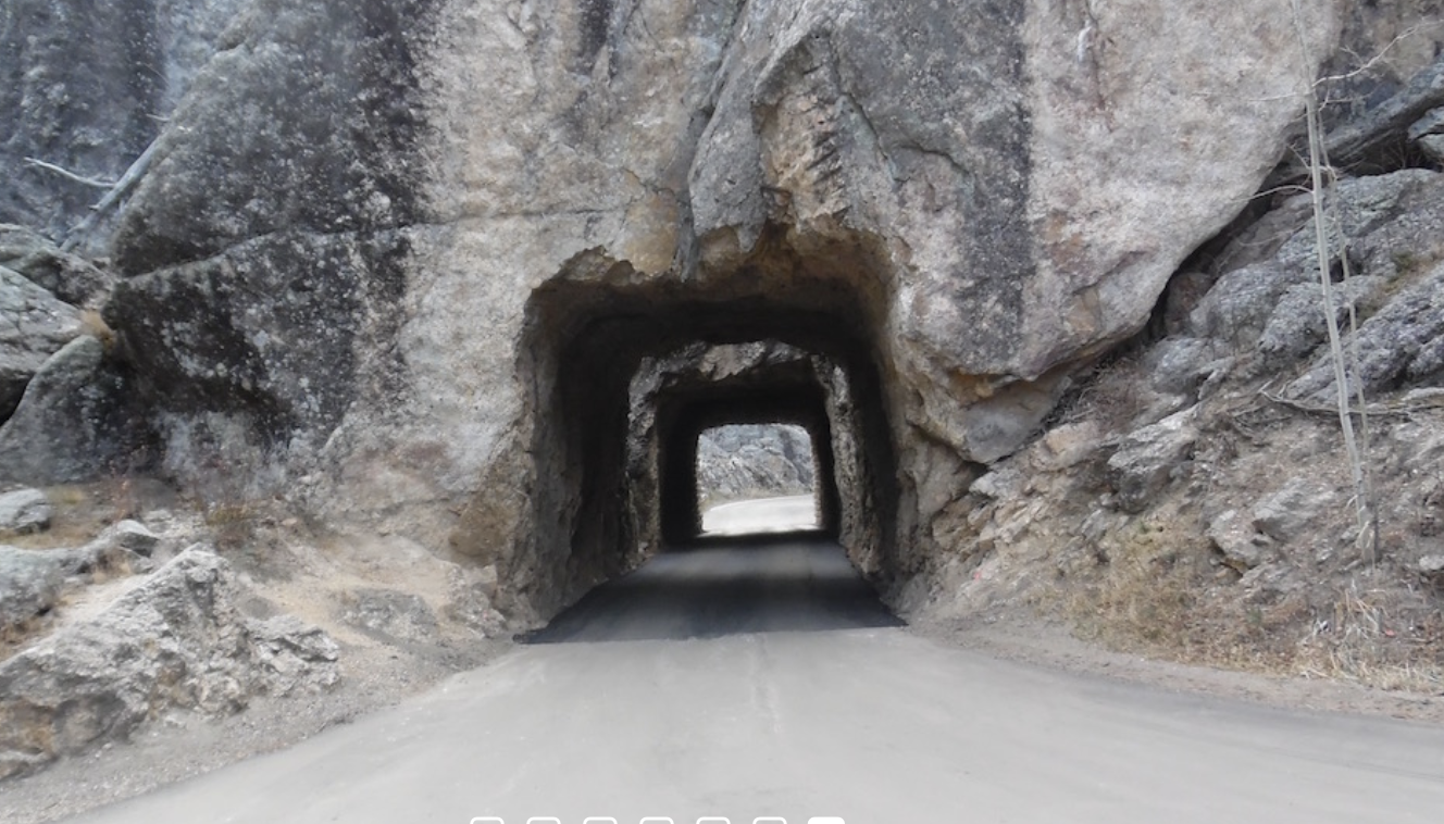
A great drive out of Custer South Dakota. Drive deep into the Black Hills in the area of old gold mines and a Forest Service fire tower.

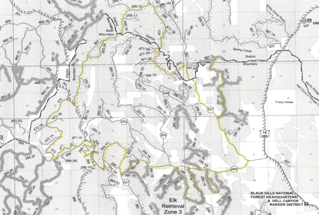
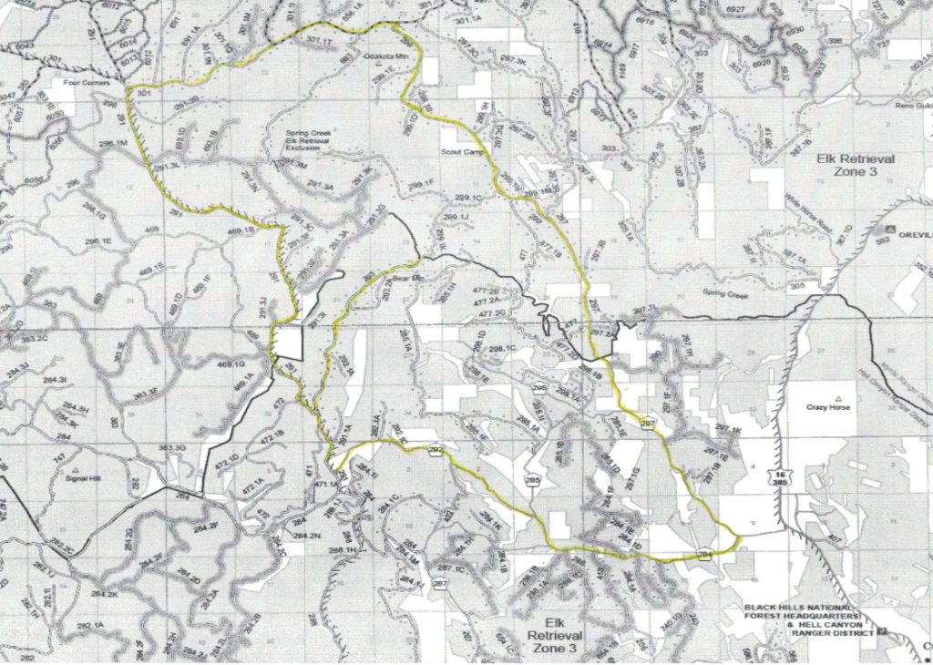
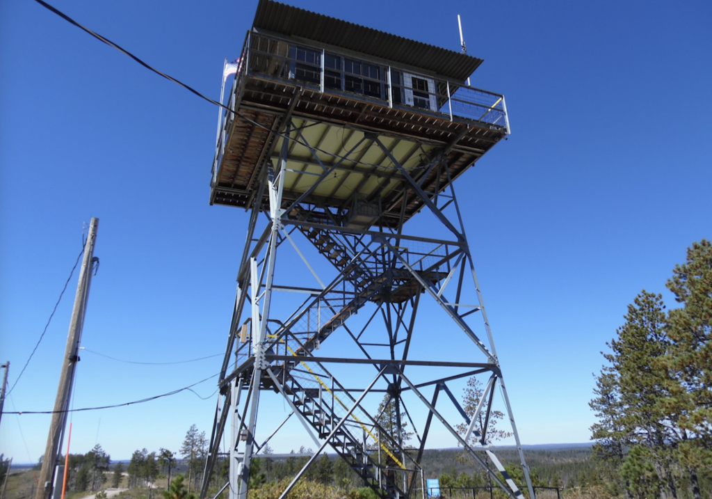
The Bear Mountain Fire Tower is a favorite destination. Trail 293 is an easy drive up, Trail 299. 1C/1K is a challenging drive up.

Trails 284. 1F and 284 .1E although deadends, take you deep into the Black Hills National Forest.

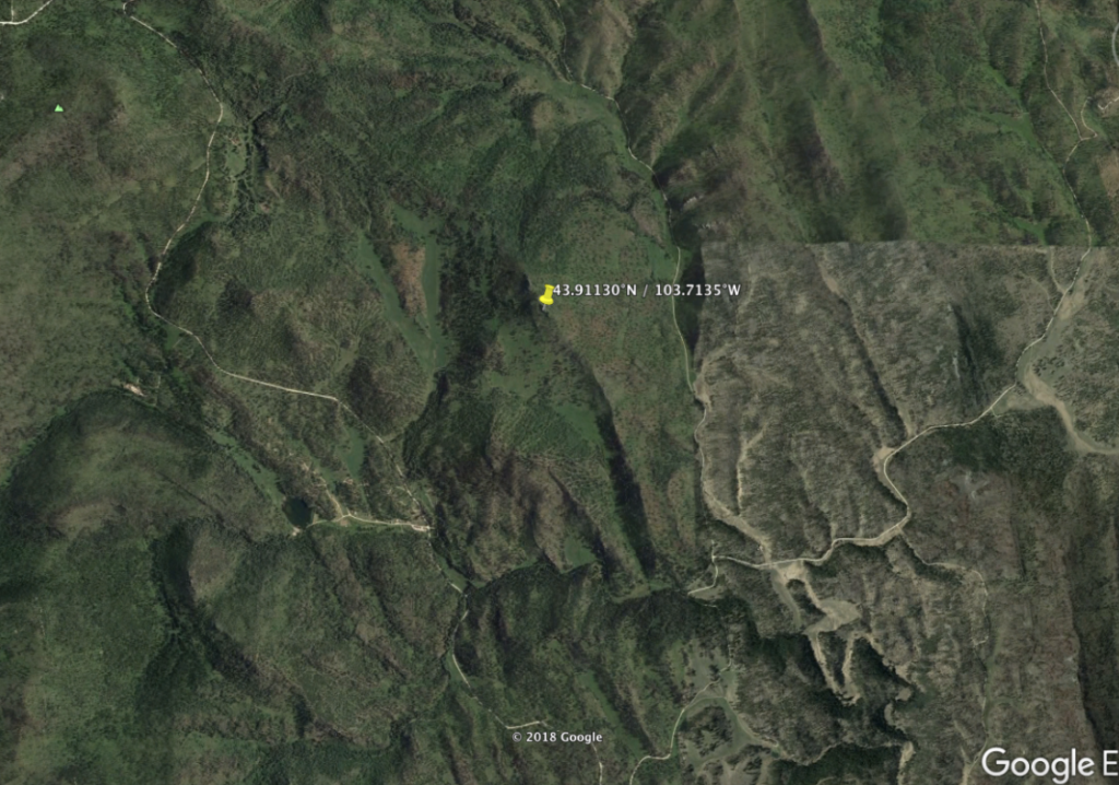
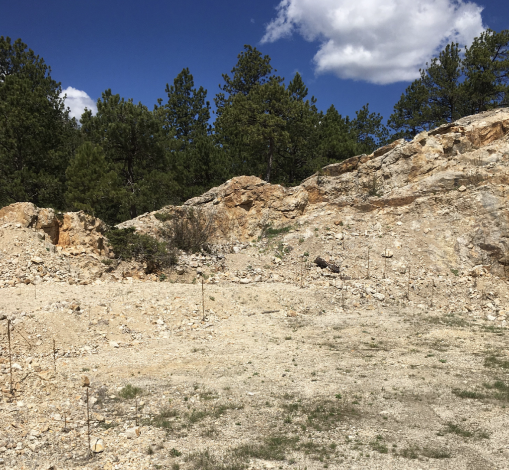
Trail 297. 1F is a nice drive into a mining district. Old mining evidence is visible just off the trail.

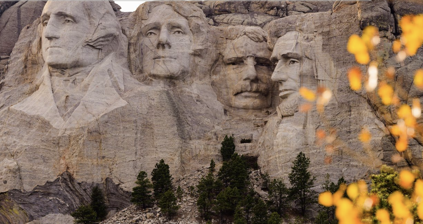
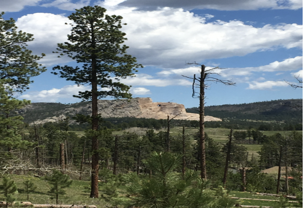
During your Bear Mountain drive, keep an eye on the horizon for a glimpse of the Crazy Horse Monument.

You will find a number of historic mines, close to the trail. Watch for the D&R mine, Grand Junction mine, Hard Scrabble mine, North Star Gold mine, Sunset Lode mine, and Pine Tree mine.

Historic ghost towns found in this area include; Camp Custer Ghost town and Sylvan City ghost town. A small amount of evidence remains at each.

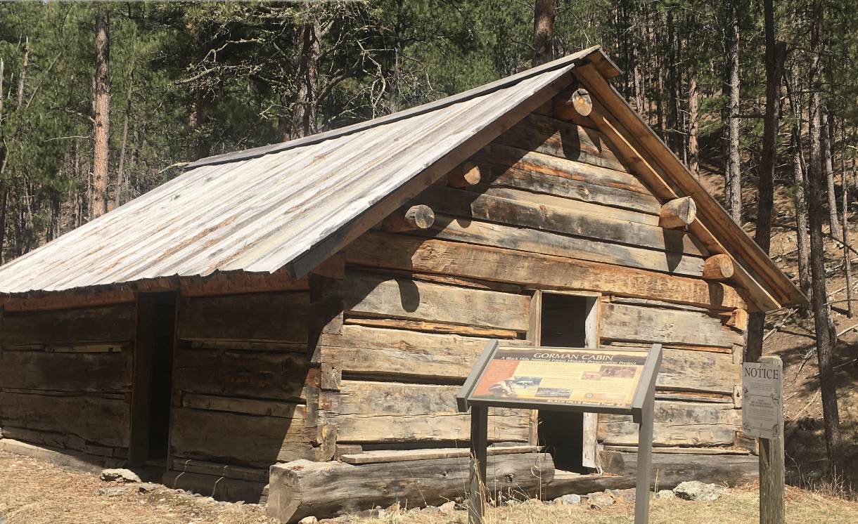
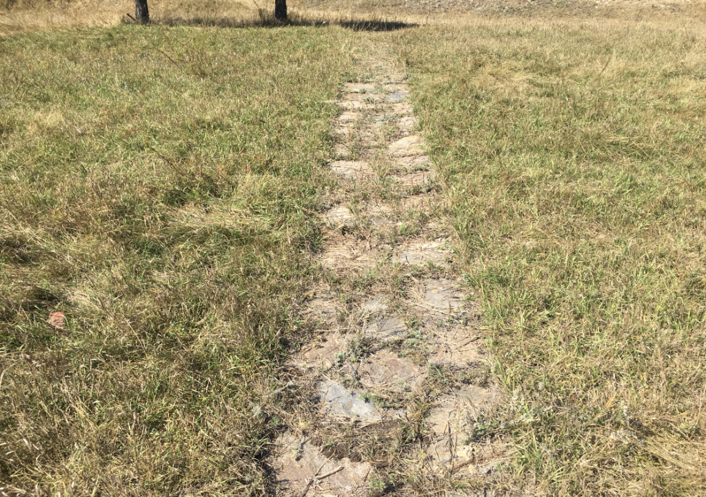
If you look carefully, remnants of old cabins and buildings can be see. including the Tenderfoot Creek cabin. There is also some evidence that shows the location of the old Junction Ranger Station.

There are no width restriction trails on the Bear Mountain drive.

Places to Visit:

BEAR MOUNTAIN FIRE TOWER

BEAR MOUNTAIN PEAK

CRAZY HORSE MONUMENT

CAMP CUSTER GHOST TOWN

D & R MINE

GRAND JUNCTION AND HARTFORD GROUP MINE

HARD SCRABBLE MINE

HISTORIC JUNCTION RANGER STATION

MEDICINE MOUNTAIN

NORTH STAR GOLD MINE

SPRING CREEK ROAD CABIN

SPRING CREEK ROAD MINE

SUNSET LOAD MINE

PINE TREE GOLD MINE


SYLVAN CITY GHOST TOWN

TENDERFOOT CREEK CABIN

COMANCHE PARK NATIONAL FOREST CAMPGROUND

DITCH CREEK NATIONAL FOREST CAMPGROUND

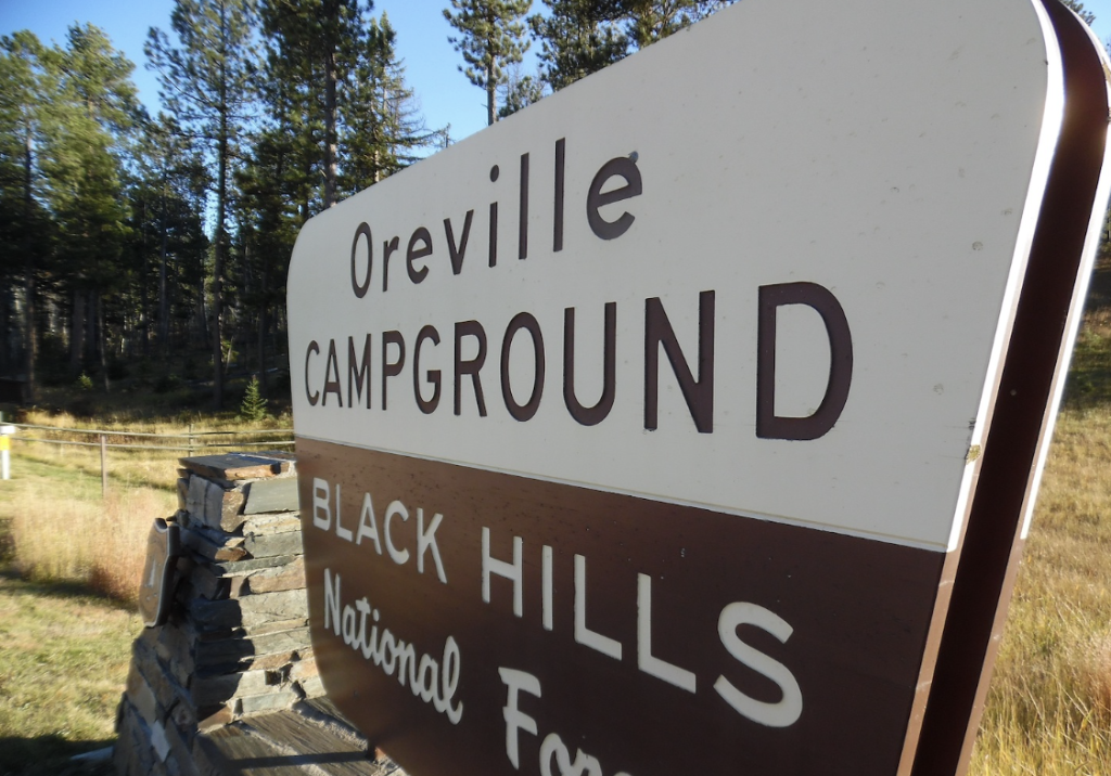
OREVILLE NATIONAL FOREST CAMPGROUND

PARKING:

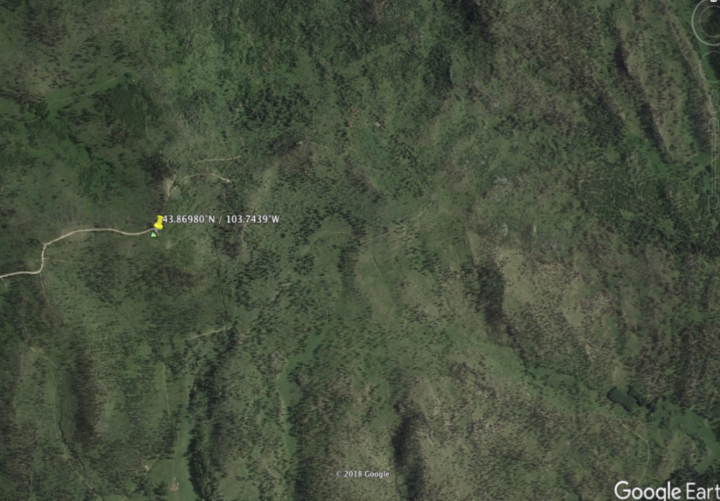
Decimal Degrees: 43.8026,-103.635

Trailhead:

DITCH CREEK TRAILHEAD

Connecting Drives:

CASTLE ROCK DRIVE

DITCH CREEK DRIVE

FOUR CORNERS DRIVE

JASPER DRIVE

JEWEL DRIVE

HAZELRODT DRIVE

TIGERVILLE DRIVE

Links:

Black Hills Playhouse

Primary Sidebar

SUV FRIENDLY BUSINESSES

HOLY SMOKE RESORT
HOLY SMOKE RESORT
HOLY SMOKE RESORT CABINS
HOLY SMOKE RESORT
HOLY SMOKE RESORT
HOLY-SMOKE-RESORT-CABINS
AMERICAN PINES CABINS
WHITETAIL CREEK RESORT
WHITETAIL CREEK RESORT CAMPGROUND
WHITETAIL CREEK RESORT CABINS
HIDDEN VALLEY CAMPGROUND
CUSTER MOUNTAIN CAMPGROUND
ELK CREEK LODGE & RESORT
BLACK HILLS WILDERNESS EDGE ADVENTURES
Deadwood Outdoor Rentals

Copyright © 2025 · Executive Pro on Genesis Framework · WordPress · Log in