*DO NOT USE THESE MAPS AS YOUR “OFFICIAL” TRAVEL MAP use AVENZA MAP
*with off-road tires
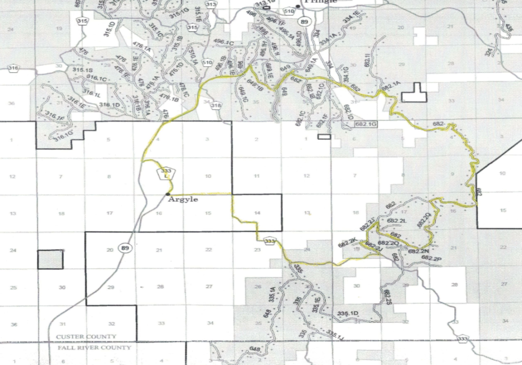
*with street tires

This trail circuit consists of little used forest service roads, some gravel and some highway. It is a great trail circuit for visitors out of the city of Hot Springs.
Argyle Ghost Town is named for an early settler to the area. No physical evidence remains of the Ghost Town, except the site rests next to the Mickelson Trail (old Burlington tracks).
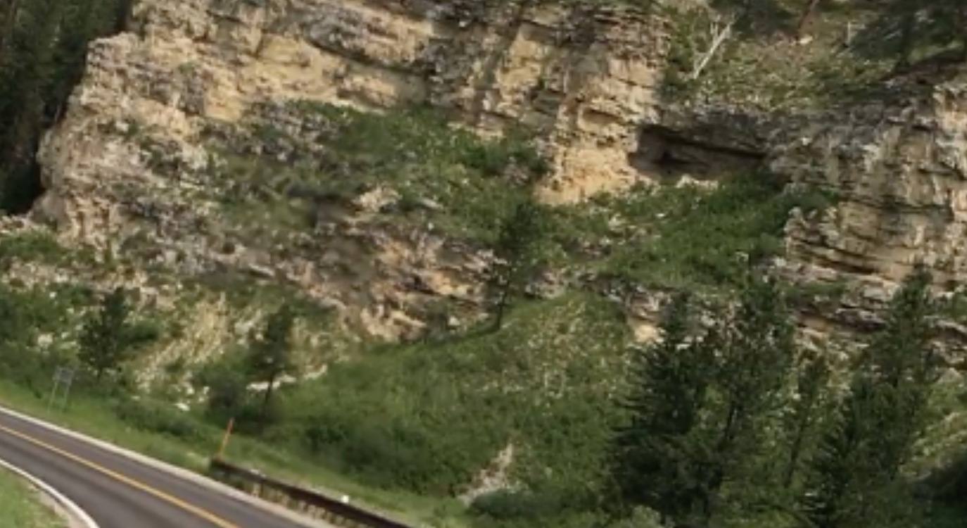
Song Dog Road (FS 682) is a nice drive, with its change in elevation and path past Antelope Canyon, Shirt-tail Canyon, Wildcat Canyon and Theatre Ridge.
The historic Beaver Creek Bridge spans a major creek that flows into Wind Cave National Park. The bridge is 115 feet above the canyon floor and made of steel and concrete is 225 feet long. It is the bridge’s arch that makes it a photographic destination.
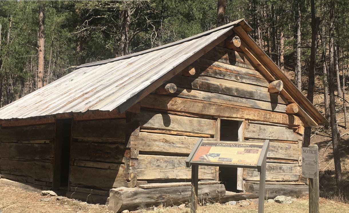
Built in 1887, Cold Springs school house, is one of the oldest log school buildings in South Dakota. It served as a school, community church and meeting house. It closed in 1949. If you visit, watch for the historic Cold Spring graveyard, located near.
Cottonwood Springs Lake is a 14 acre recreation area for fishing, primitive camping and hiking adventure.
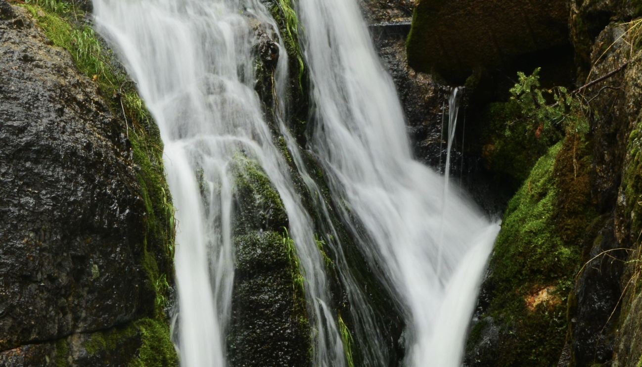
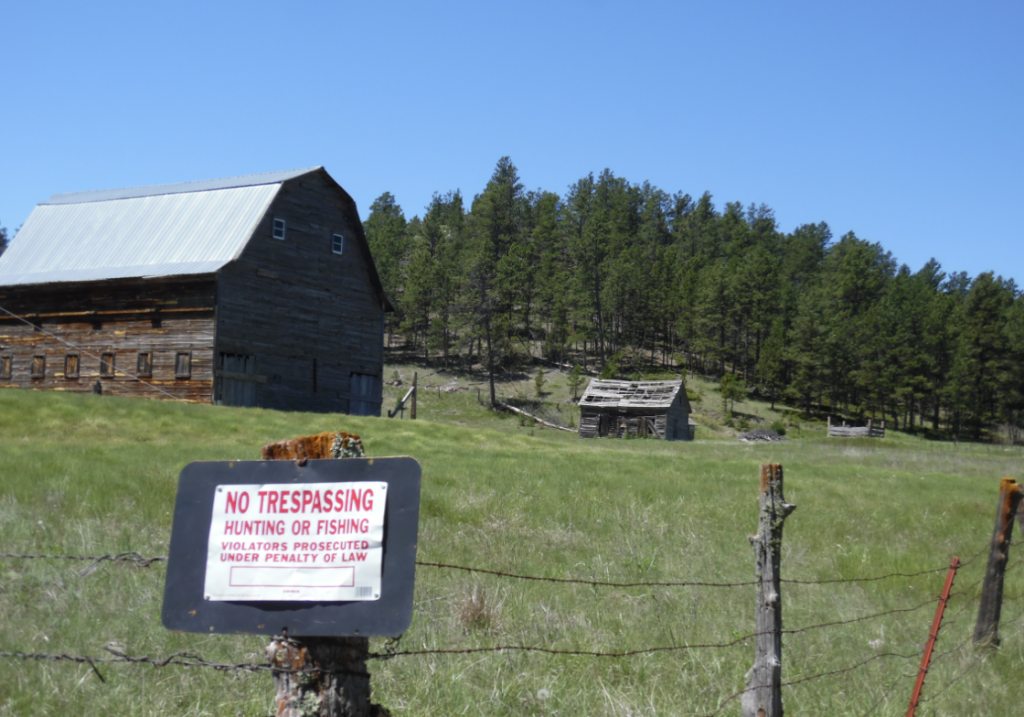
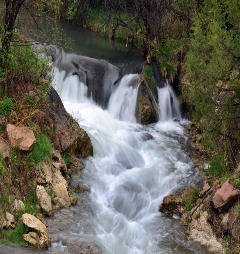
The Fall River Falls cascades through a valley of sandstone before joining the Cheyenne River. With an average temperature of 87 degrees this warm water river flows freely year around. Unfortunately the falls must be viewed from a distance because the area around the falls has been deemed a no trespassing area.
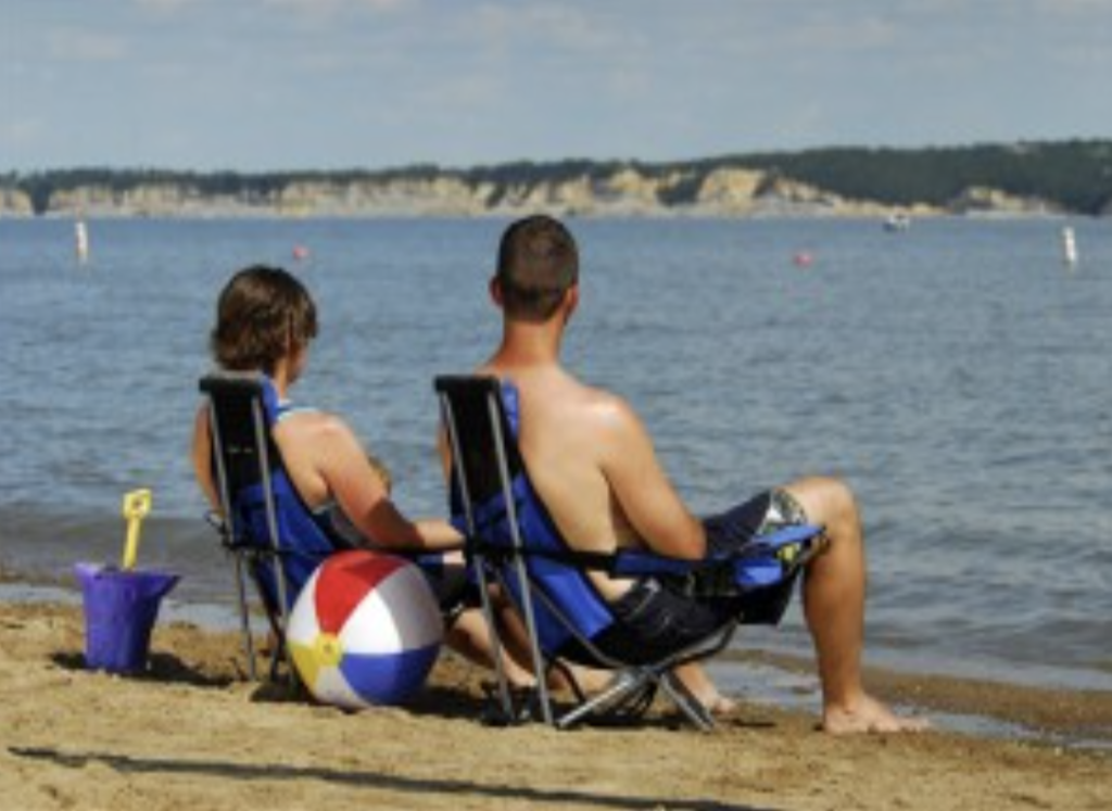









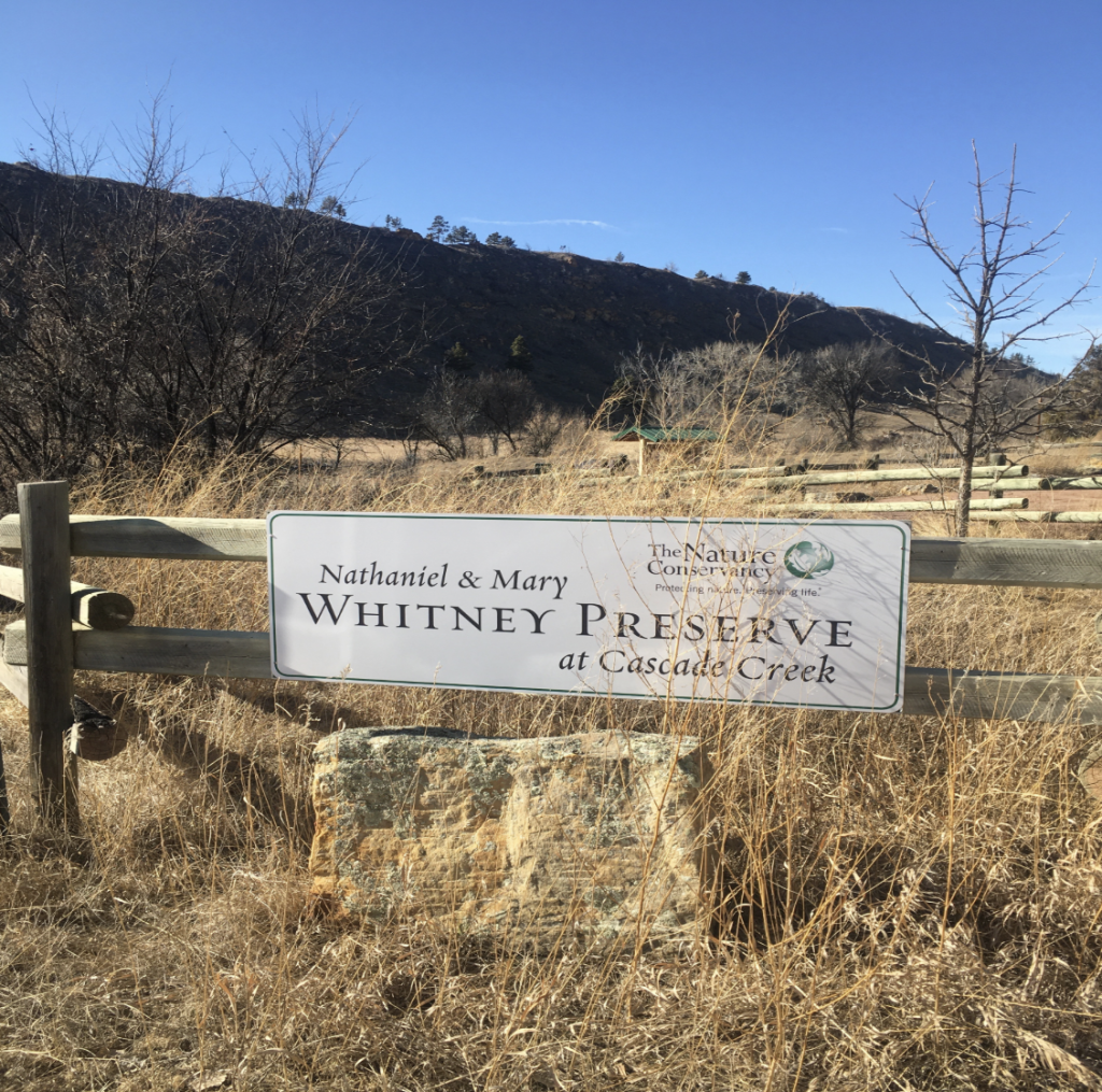
CASCADE FALLS NATIONAL FOREST PICNIC AREA
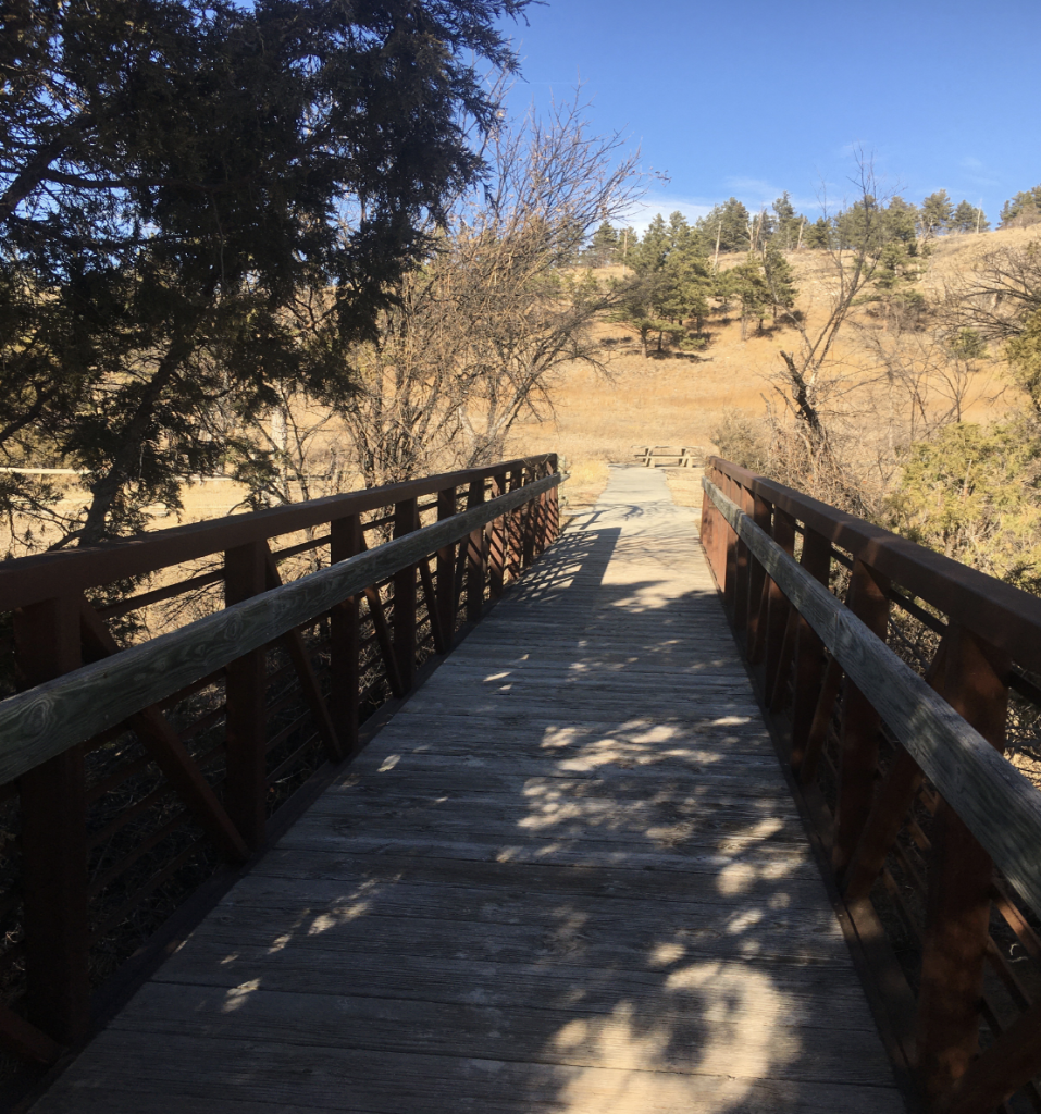
ANGOSTORA RECREATION AREA CAMPGROUND


ELK MOUNTAIN NATIONAL FOREST CAMPGROUND

PARKING:
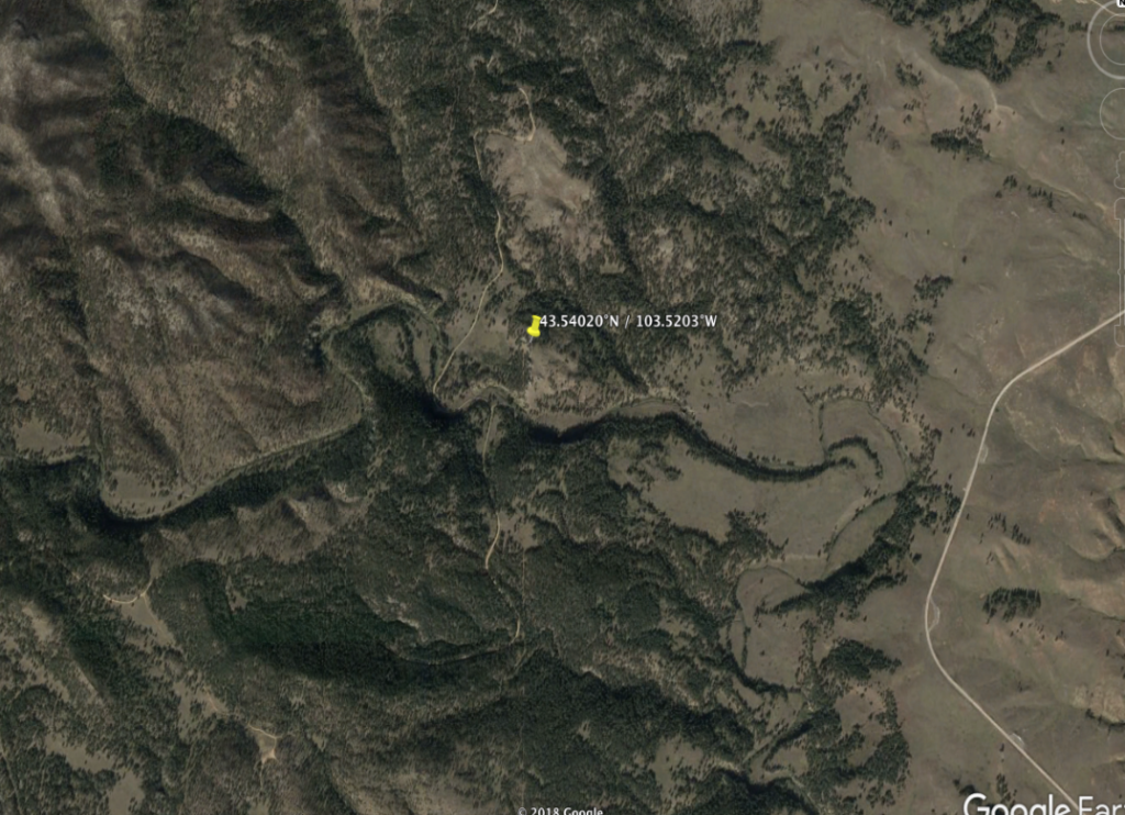
Decimal Degrees: 43.471223, -103.4905498
Trailhead:
Connecting Drives:
