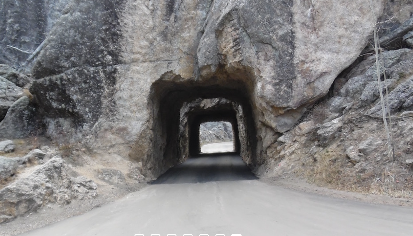
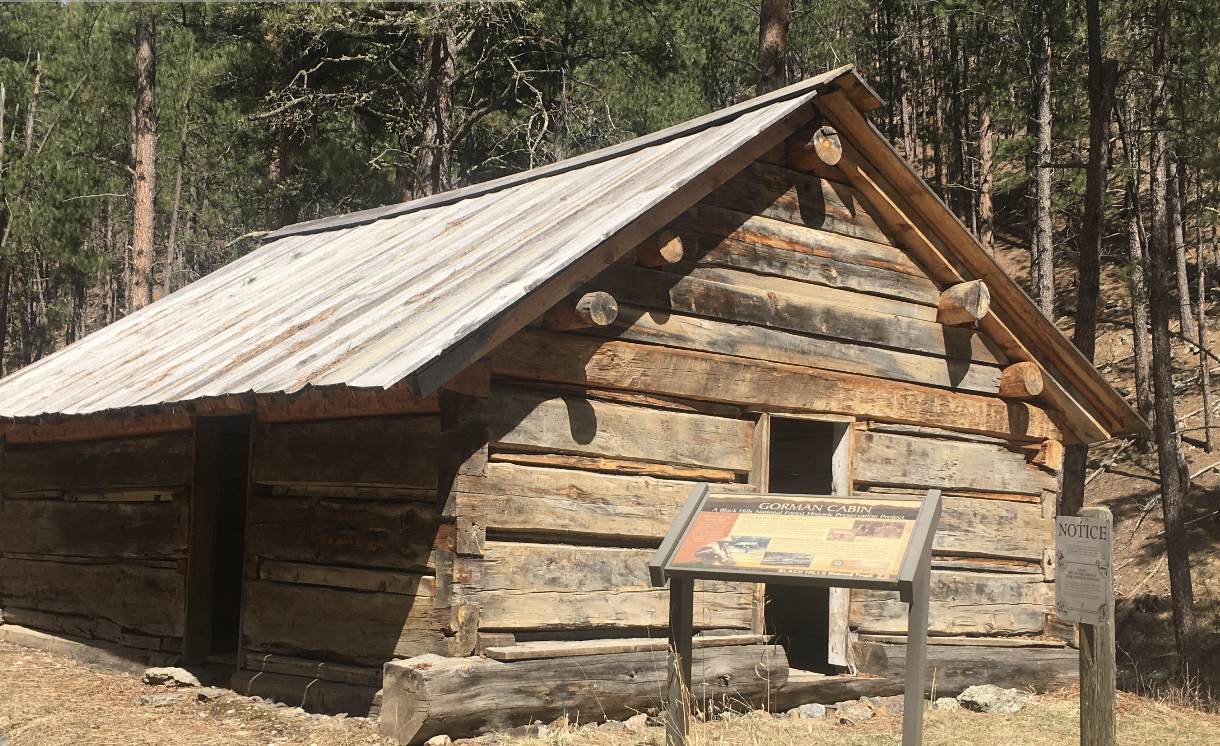
*DO NOT USE THESE MAPS AS YOUR “OFFICIAL” TRAVEL MAP use AVENZA MAP
*with off-road tires

*with street tires
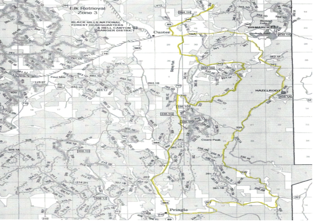
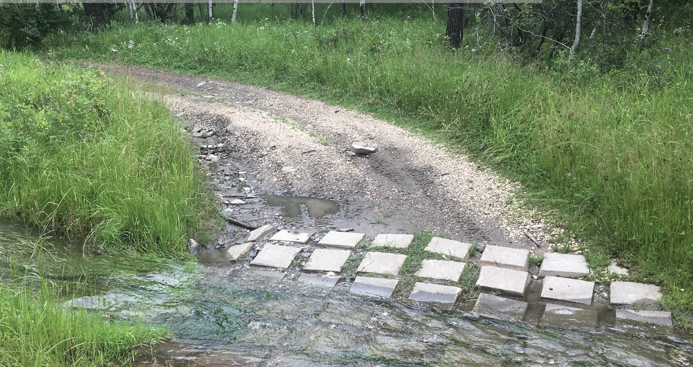
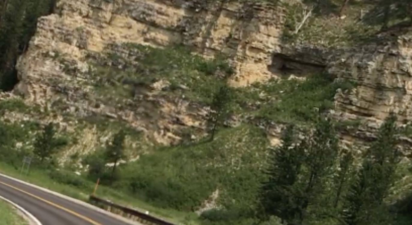
Located just South West of Custer, South Dakota the Hazelrodt Drive is a nice set of trail-like Forest Service roads. The ride borders the West side of Custer State Park.
The First White woman to enter the Black Hills, is honored with the Annie Tallent Monument.
A drive to the top of Cicero Peak brings you to the Cicero Peak Tower.
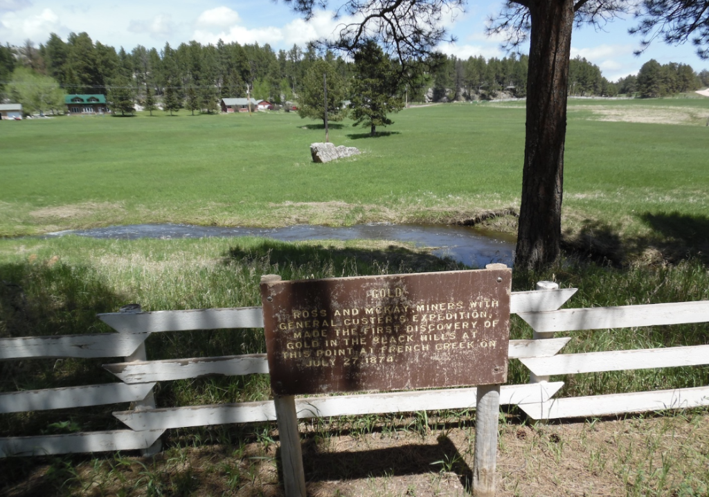
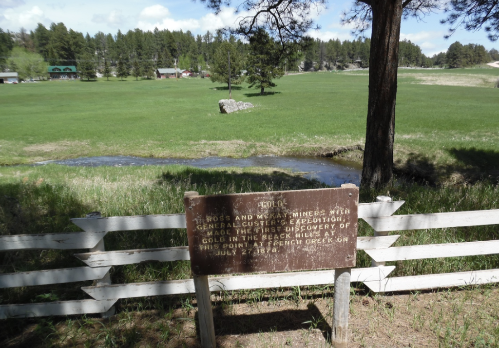
General George Custer’s “Permanent Camp” was located in this area. Miners with him, discovered the “first gold.”
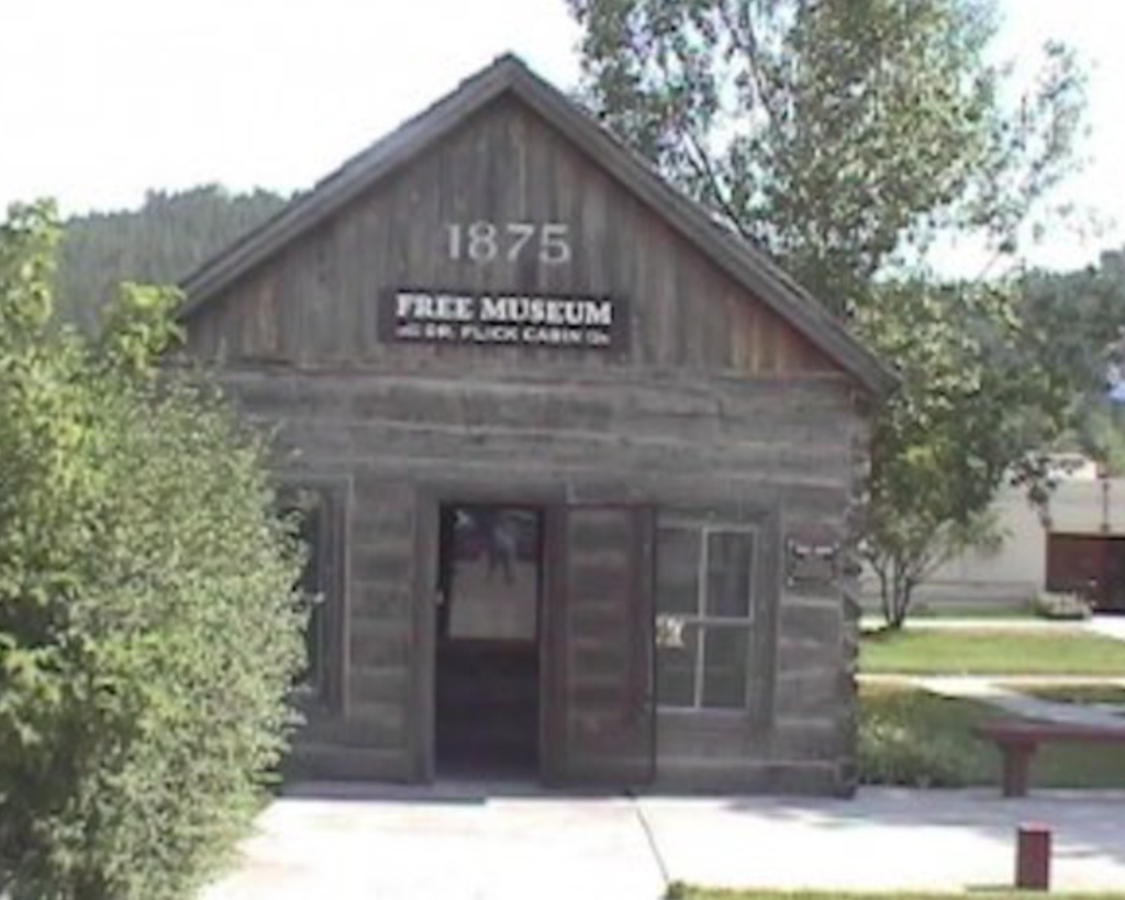
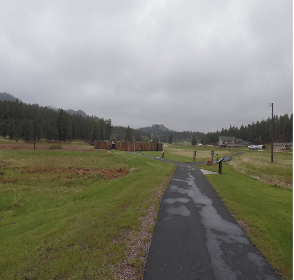
Historic buildings populate the area. watch for the Glen Erin School, a historic fireplace, Hazelrodt cabin, the Meeker Ranch, Meeker Road cabin, the old Custer Jail, Wild Rose mine cabin, Flick Cabin and Fort Defiance.
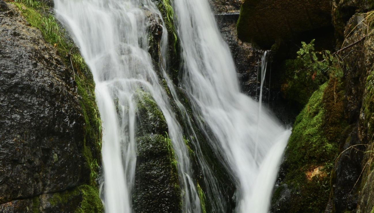
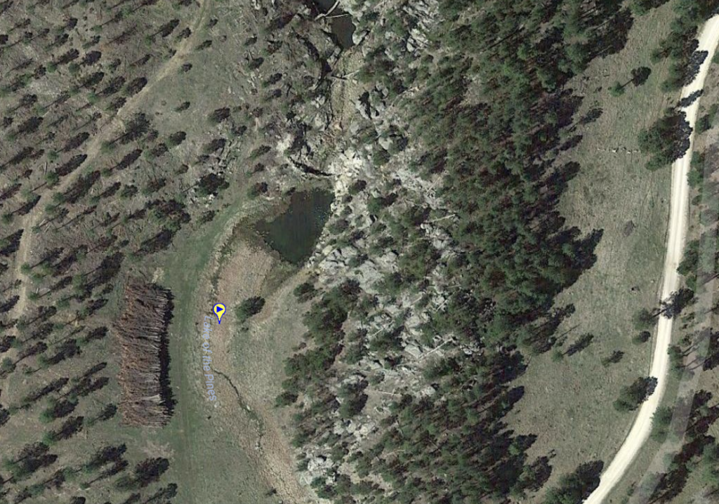
Water features include: Flynn Creek, French Creek, Lake of the Pines, Stockade Lake Bridge waterfall, and Stockade Lake.
Places to Visit:
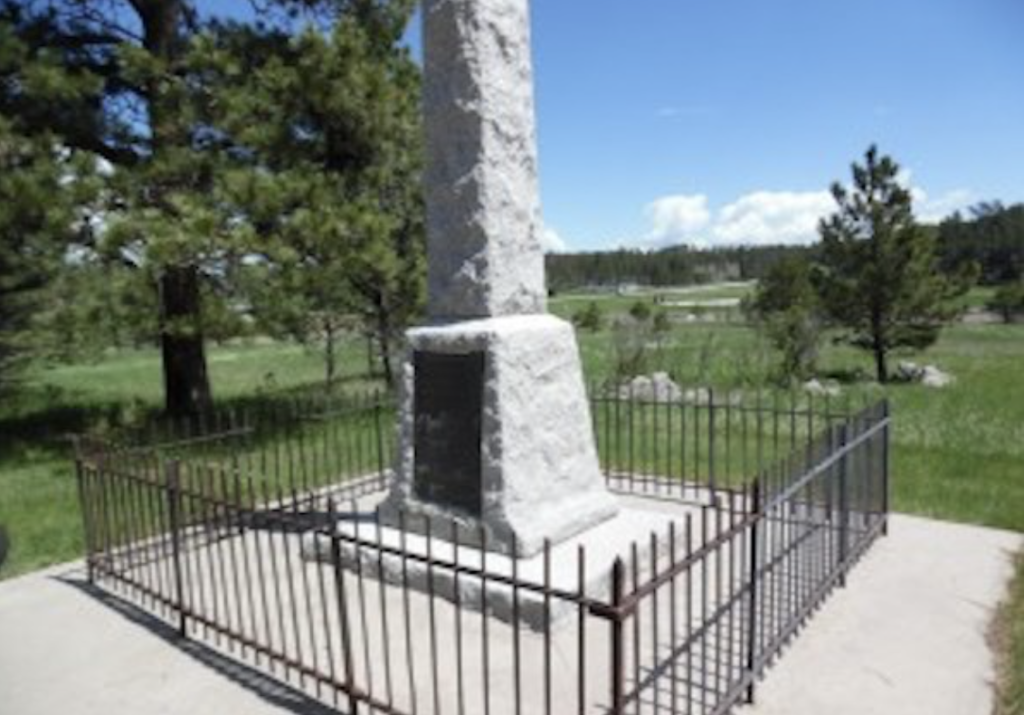
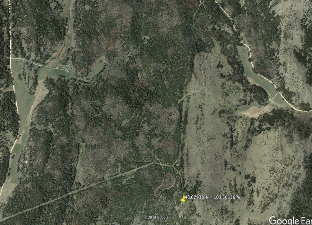

C“PERMANENT CAMP” CUSTER EXPEDITION**





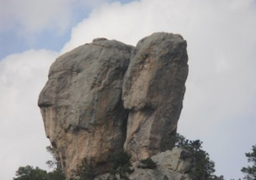
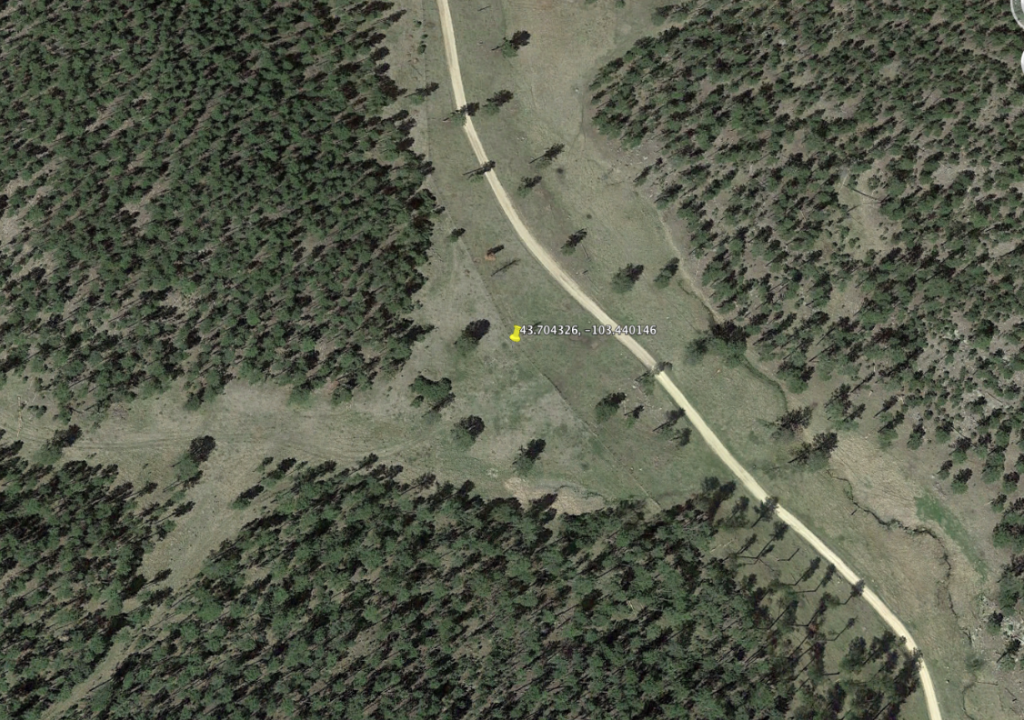

HAZELRODT NATIONAL FOREST PICNIC AREA
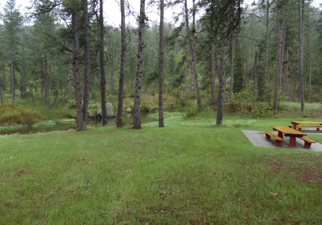
FRENCH CREEK NATIONAL FOREST CAMPGROUND
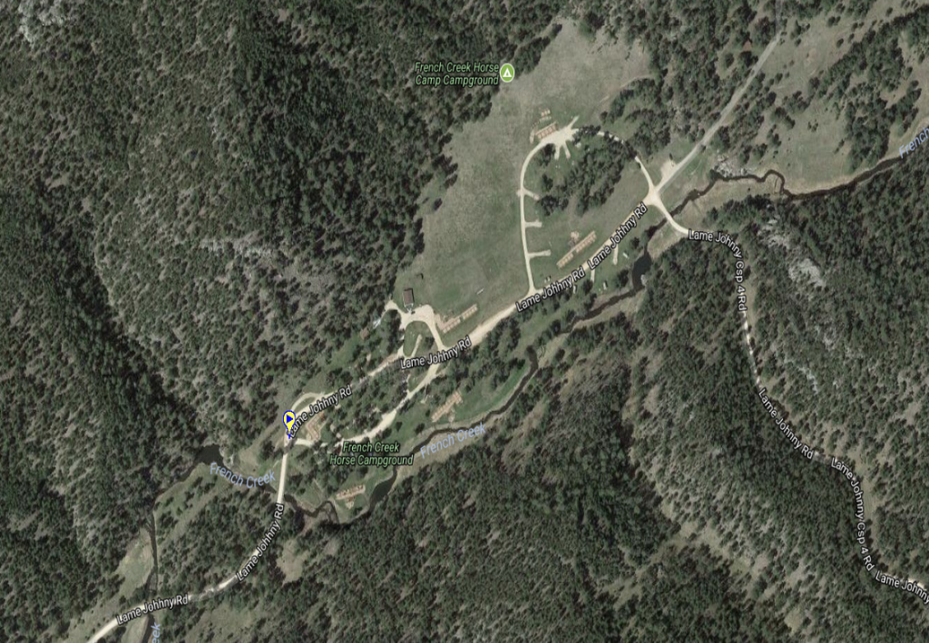
PARKING:
Decimal Degrees: 43.6644,-103.7905
Trailhead:
Connecting Drives:
