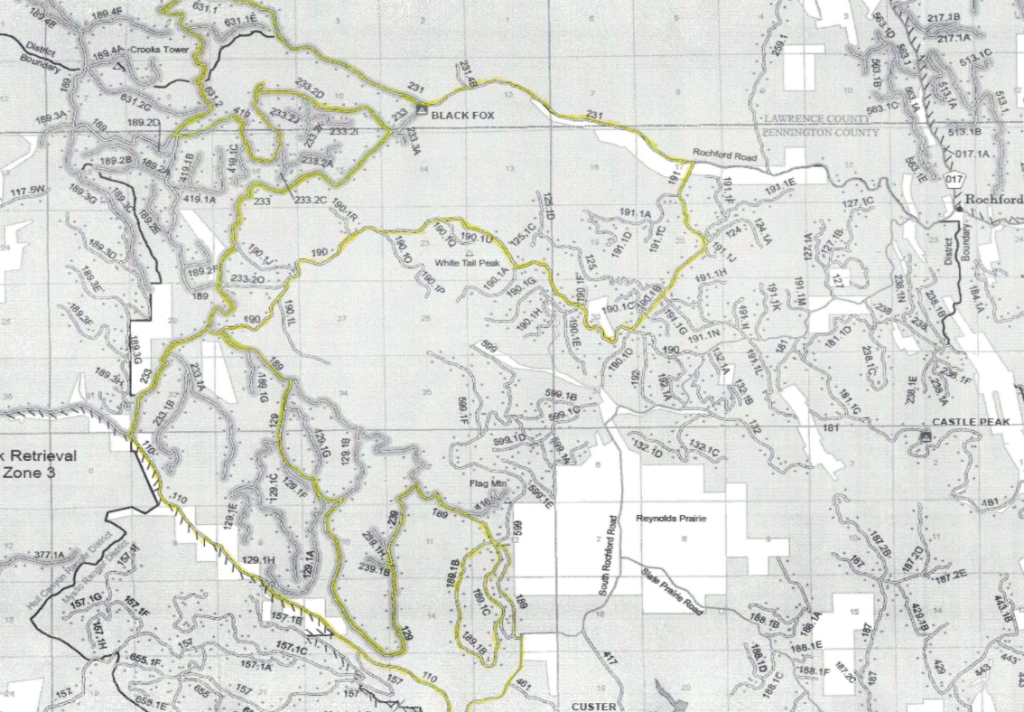
*DO NOT USE THESE MAPS AS YOUR “OFFICIAL” TRAVEL MAP use AVENZA MAP
*with off-road tires
*with street tires
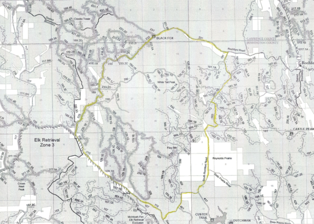
This area has numerous Forest Service roads in a beautiful area of the Black Hills. Things to watch for include Crooks Tower, Whitetail Peak, or even a well hidden, Cave Draw.
Trail 233.1B is little used but has history dating back to the Custer Expedition. Trail 419 takes you over the top of the Black Fox area. Trail 129 lets you explore the area South of Flag Mountain.
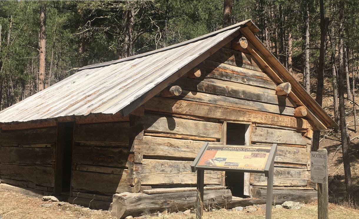
Black Fox Ghost town is now a location for summer homes and a National Forest Campground. An old fireplace stands where once a building stood.
For those who are adventurous there is Cave Draw. A cave found deep off the trail in the White Tail Peak area.
Actually a tower in name only. Crooks Tower is a high point in the Black Hills but never had a fire tower. When it was first inventoried, by General Crooks in 1875, the peak was thought to be the high point of the Black Hills.
Crooks Lake is not much of a lake because it is dry most of the year.
It’s probably the two creeks that meet at Black Fox that makes the area so inviting. Rhoads Fork Creek flows from the South and South Fork Rapid Creek flows from the West.
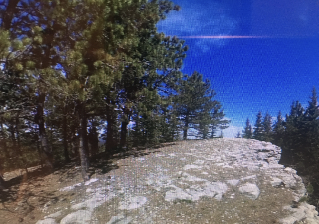
Construction on the Flag Mountain Fire Tower was completed in 1940, by the Roubaix CCC camp. Abandoned in 1951, all that remains is the lower part of the rock wall of the base and the old outhouse.
Photographer of Gen. Custer’s Black Hills Expedition of 1874, William Illingworth took the famous picture from the String of Peals site. You can drive up to that same site and observe the valley that Custer’s 1,000 wagon train traveled.
In 1938, new development work was done on the Yellow Bird Mine, and a 50-ton flotation mill was built to mill oxidized ore. Part of the structure still stands within sight of the trail.
There are no width restricted trails on the Black Fox Drive.
Places to Visit:


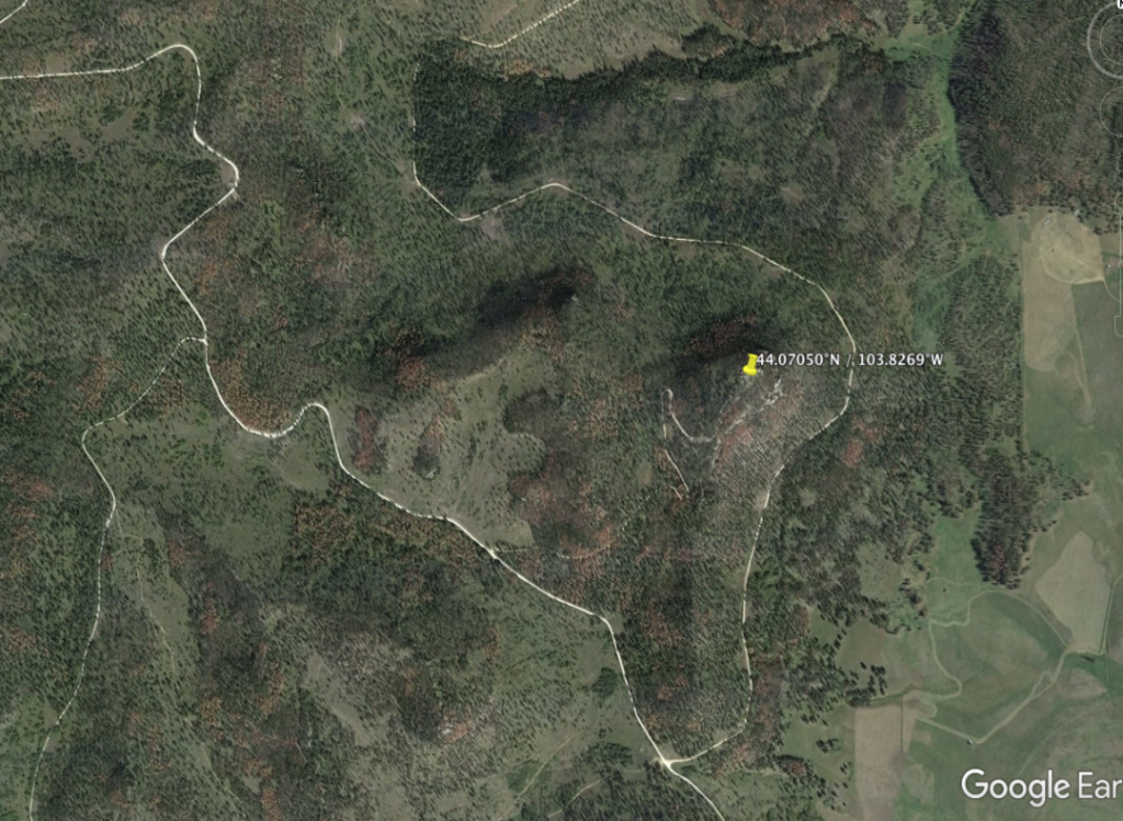
STRING OF PEARLS CUSTER EXPEDITION


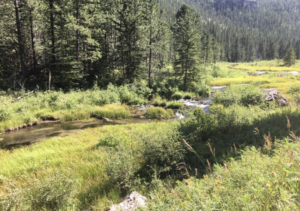
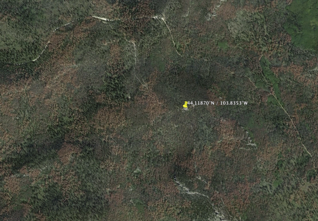
BLACK FOX NATIONAL FOREST CAMPGROUND
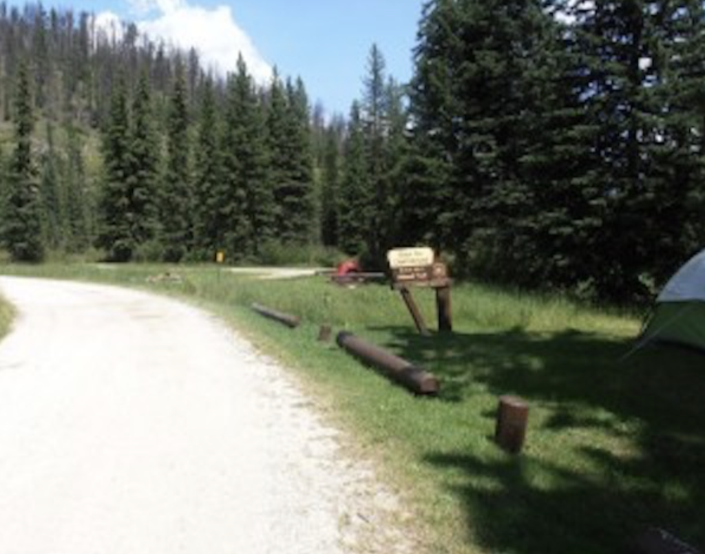
CASTLE PEAK NATIONAL FOREST CAMPGROUND

Parking:
Trailhead:
CROOKS TOWER/BLACK FOX TRAILHEAD
Connecting Drives:
