*DO NOT USE THESE MAPS AS YOUR “OFFICIAL” TRAVEL MAP use AVENZA MAP
*with off-road tires
*with street tires
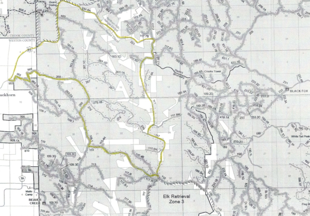
Trail 183.1A is a little used 2 mile trail worth a drive. There is a good chance that General George Custer traveled the area of Trail 279 way back in 1874.
If you are riding Trail 908.1A you probably just recently crossed the border into Wyoming.
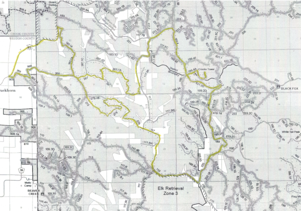
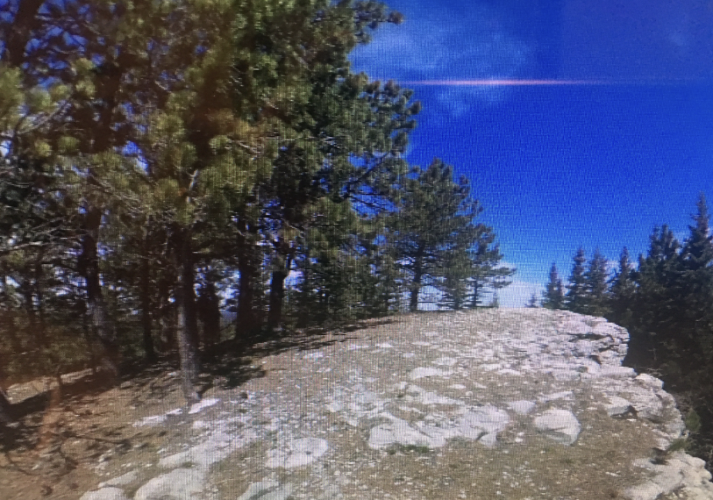
Crooks Tower is the 4th highest peak in South Dakota. It is surrounded by great trail-like Forest Service Roads. Also many features of history can be seen on this drive.
General George Custer camped along side Cold Creek during his expedition to the Black Hills. We call the campsite the July 25 Camp.
Crooks Lake is another water source named by a historical General. Crooks Lake is dry most of the year.
Crooks peak is one of those high points in the Black Hills that you can drive to the top. Crooks Tower is not a fire tower, but a name given to what was once considered the highest point in the Black Hills.
The String of Pearls site is just one of the historic sites to visit in this area. This is the location that William Illingworth took the famous picture.
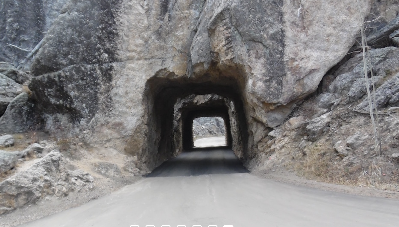
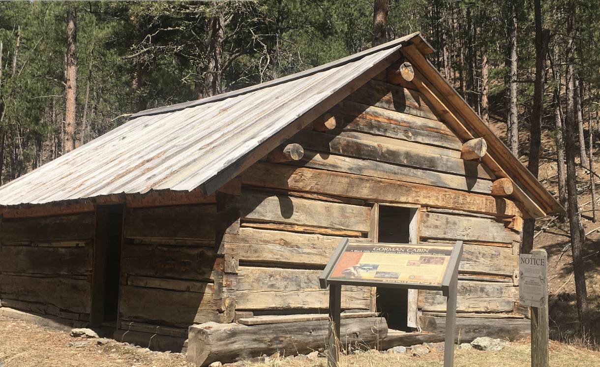
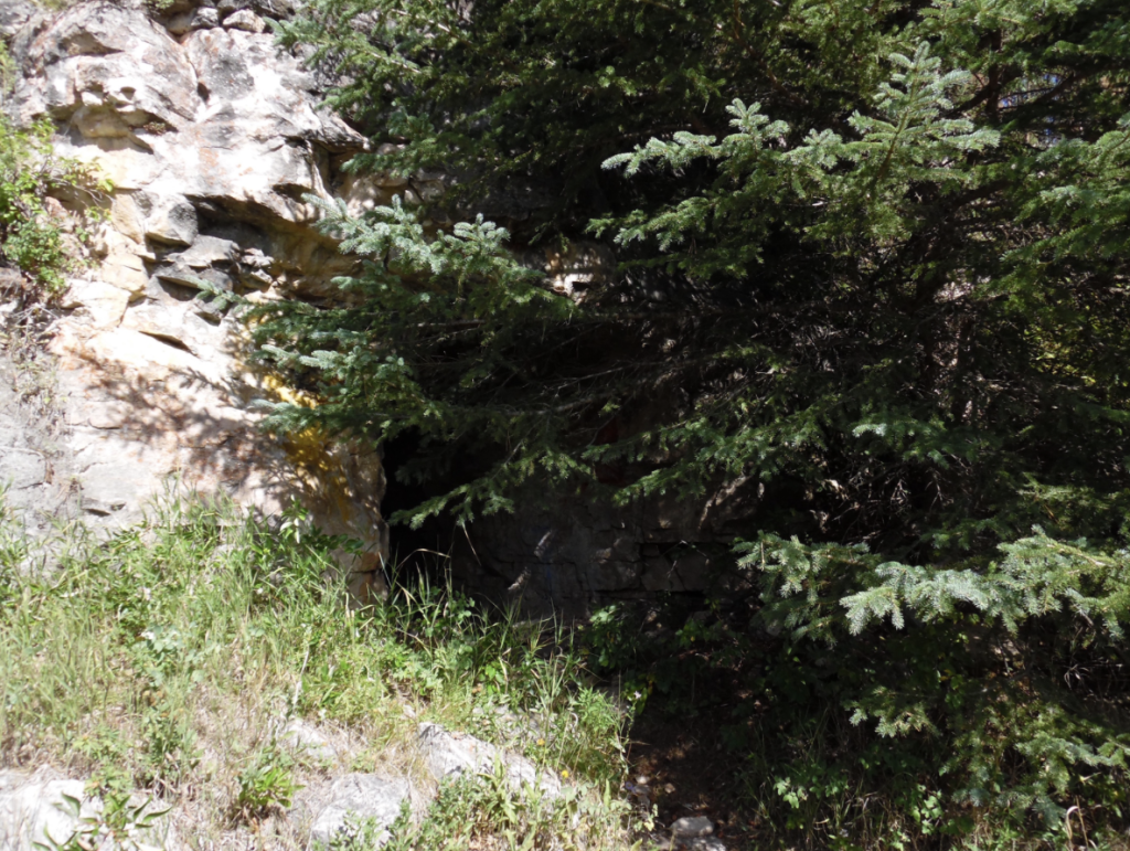
Other historic sites worth a visit and a photograph are; Custer’s Cooler, Ice Box cave, and the Private James ranch.
The Siesmic Station is an abandoned US seismic surveilance sight used by the Russians and U.S. seismic teams during the latter part of the cold war.
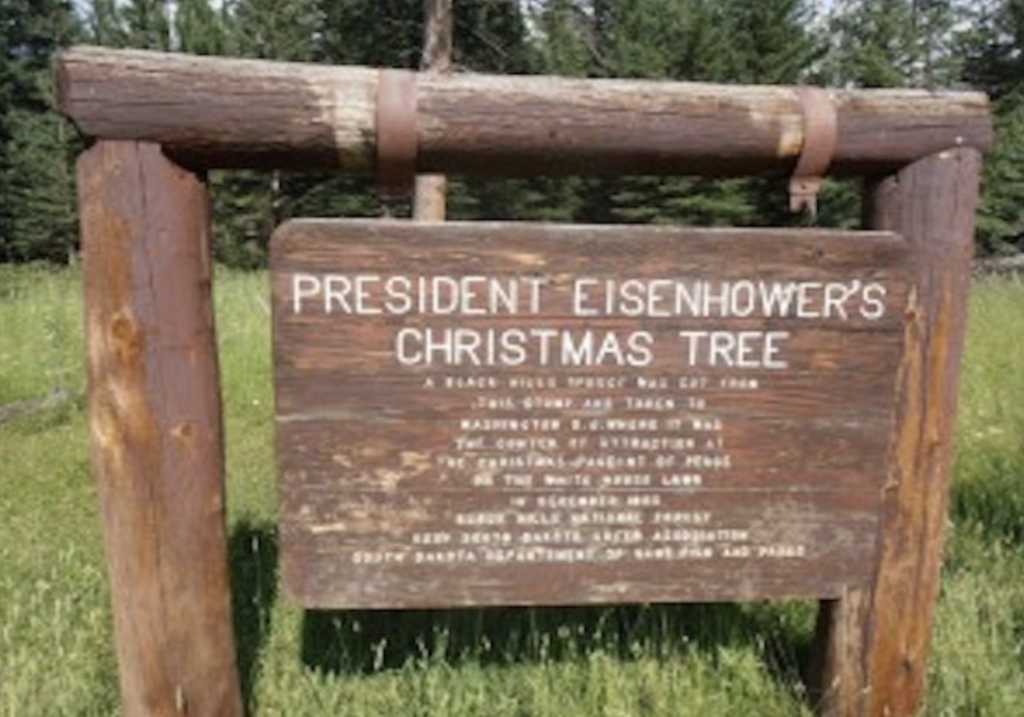
A Black Hills spruce was cut from this stump in the area, and taken to Washington D.C. where it was the center of attention at the Christmas Pagent of Peace on the White House lawn in December 1955.


PRESIDENT EISENHOWER’S CHRISTMAS TREE

STRING OF PEARLS CUSTER EXPEDITION

BEAVER CREEK NATIONAL FOREST CAMPGROUND

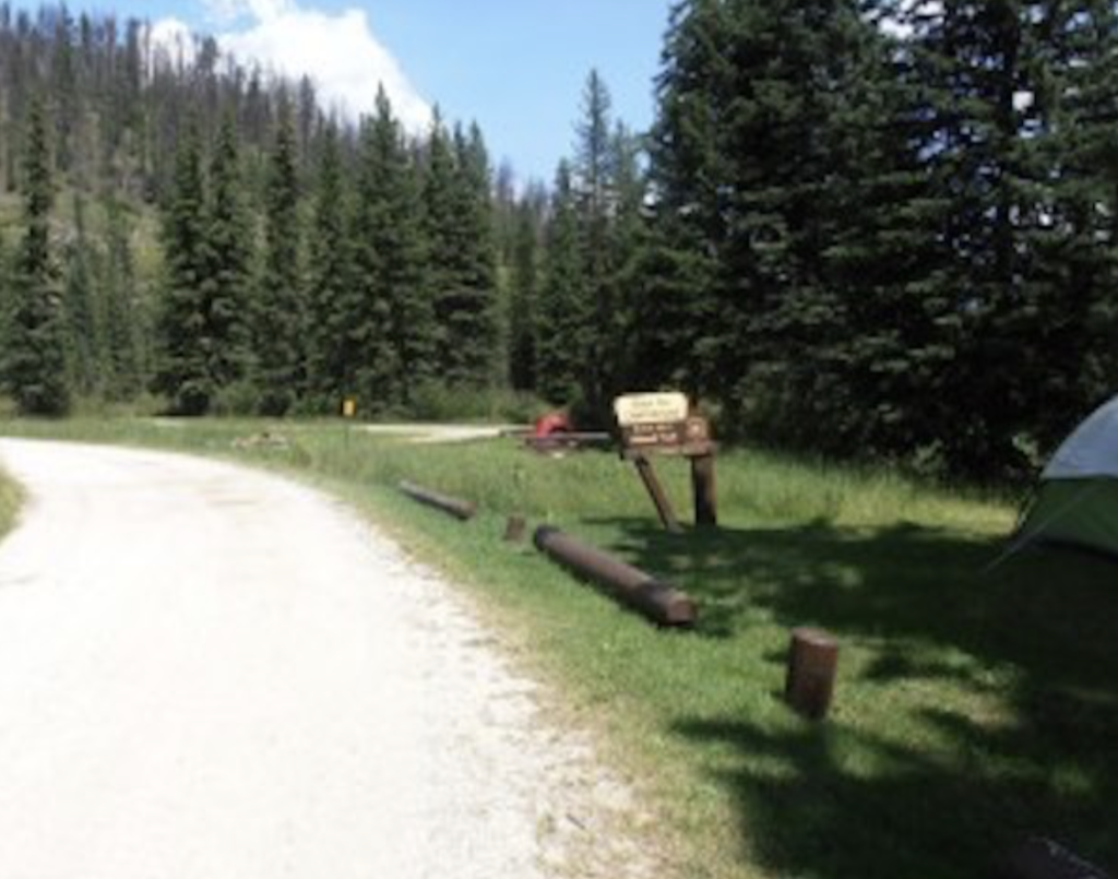
BLACK FOX NATIONAL FOREST CAMPGROUND
Parking:
Decimal Degrees: 44.1776,-104.0443
Trailhead:
CROOKS TOWER/BLACK FOX TRAILHEAD
Connecting Drives: